 SURPINDO
About
Find Out More About Us
Procurement of goods and Consultation Services with approximately 5 (four) years of experience covering working areas throughout Indonesia .

PT.SURVEI PEMETAAN INDONESIA was established in 2017 with the aim of bringing together professionals in the field of mapping and information technology to become big together. We are supported by experts and skilled workers who are experienced in both private and government projects (BPN, Ministry of Agriculture, Ministry of Energy and Mineral Resources, SKK Migas, Mining Company, Office of Public Works, and other government agencies).
In addition, we have collaborated with various of government and private agencies, especially in the field of providing consulting services and procurement of electronic goods, measuring instruments and surveys.
Is a company that has been registered with the Bogor Regency Industry and Trade Office with a Trade Business Permit (SIUP)


Services
Check our Services
Ut possimus qui ut temporibus culpa velit eveniet modi omnis est adipisci expedita at voluptas atque vitae autem.
Survey Mapping
-
Geological - Mining Surveying
-
Oil & Gas Facilities Surveying
-
Network / Utility Surveying
-
Environmental Surveying
-
Agricultural Surveying
-
Bathymetry Surveying
-
Cadastral Surveying
-
Surveying of Highways and Water Resources
etc.
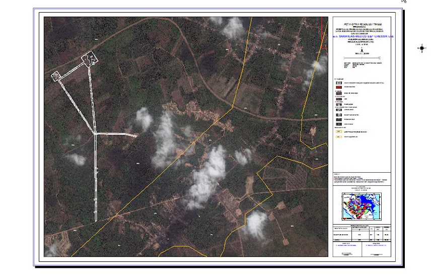
Remote Sensing & GIS
-
Satellite Image Analysis for Various Fields
-
Procurement of Satellite Imagery
-
Making Digital Maps using GIS Software
-
Development of GIS-based Applications / Systems
-
Reporting Services related to GIS & Remote Sensing
-
GIS & Remote Sensing Software Usage Training
Forestry & Environment
-
Setting the Limits of Borrow-to-Use Forest Permits
-
Demarcation of Forest Area Boundary
-
Pre-Logging Stands Inventory
-
Determination of Work Area
-
Forestry-related Work Plan
-
etc.
Geology & Mining
-
Establishment of Mine Work Plan
-
Preliminary Survey Study
-
Survey Due Diligence
-
Regional Mapping
-
etc.
Plantation
-
Mapping of Roads and Ditch Infrastructure and other Infrastructure
-
Topographic Mapping for Water Management
-
Plantation Conservation Management
-
etc.
Regional Development
Regional Spatial Plan Generation
Detailed Spatial Plans Generation
Regional Development Mapping
Manpower Supply
-
Geodesy
-
Geography
-
Geology
-
Mining
-
Planology
-
Safety
-
Project Administration
-
Project Management
-
Electrical
-
IT Security
-
IT Network
-
Control Room
etc.
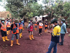
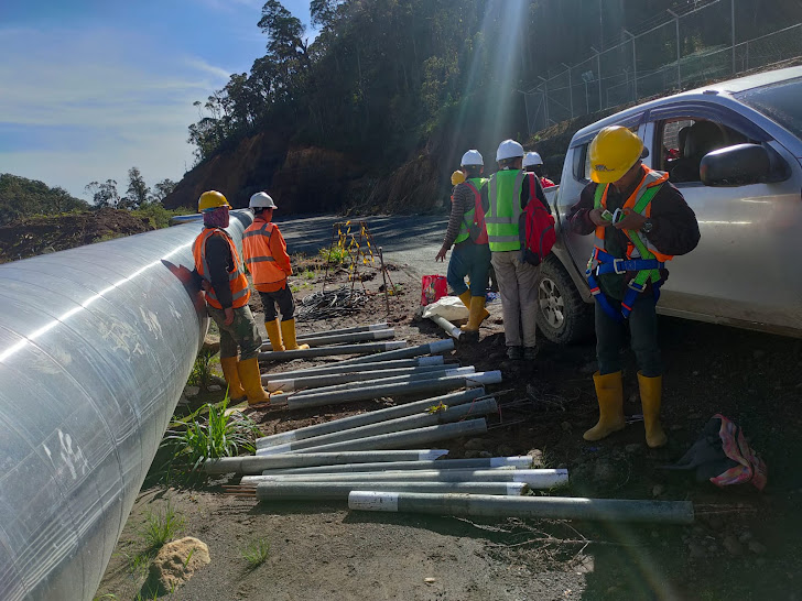
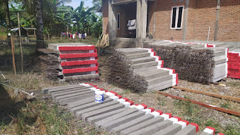
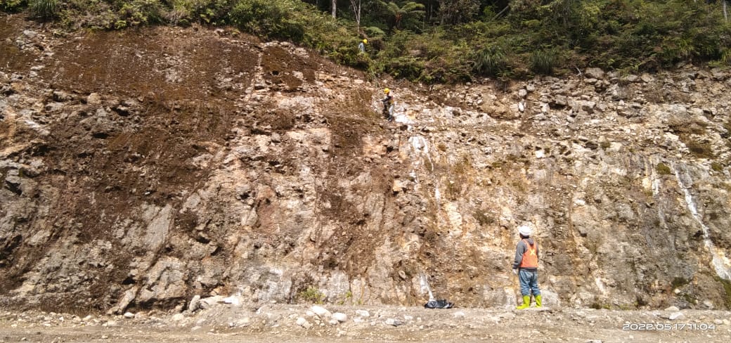
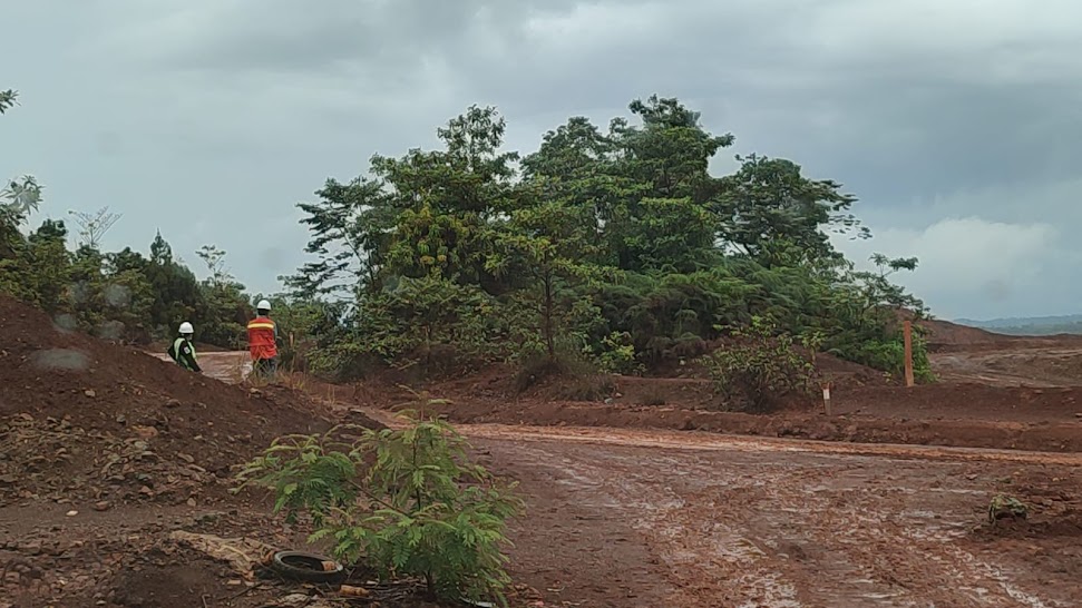
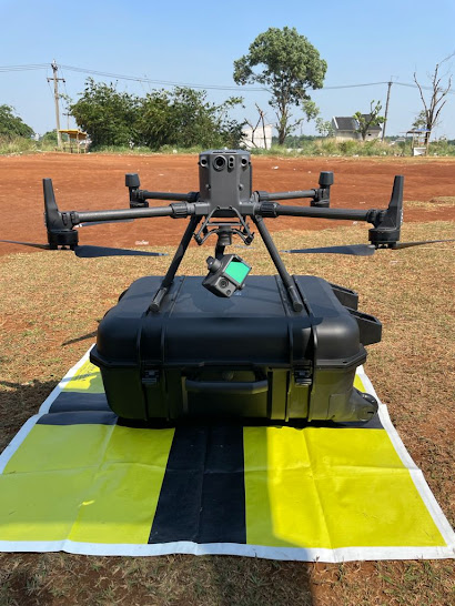
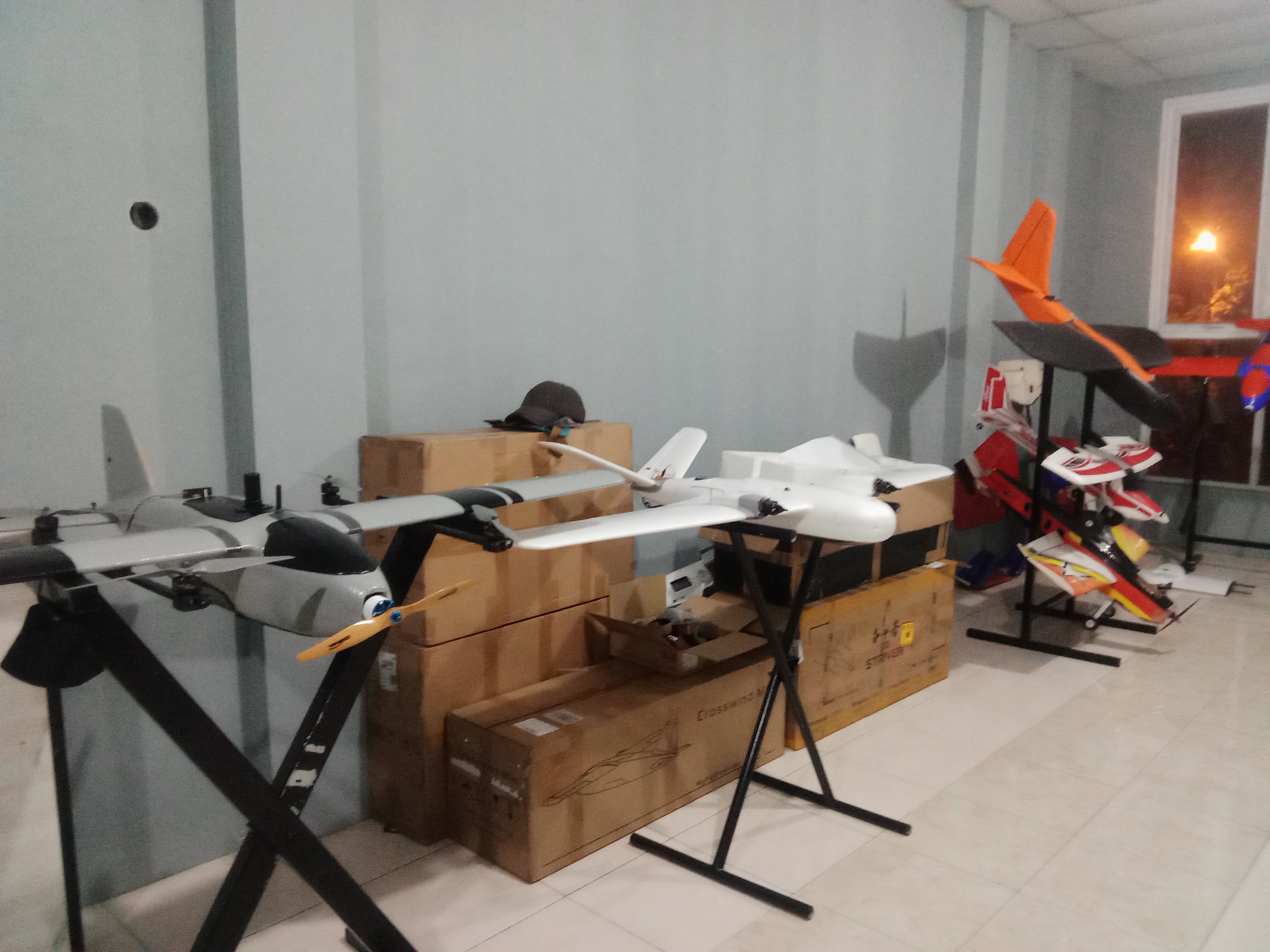
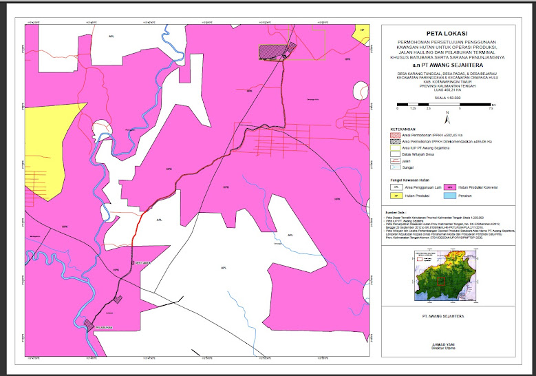
Gallery
Check our Gallery
Ut possimus qui ut temporibus culpa velit eveniet modi omnis est adipisci expedita at voluptas atque vitae autem.
Contact
Contact Us
Regardless of what it is, we'd love to hear from you. Don't hesitate to contact us via the form.
Our Address
Ruko C3 Nirwana Golden Park, JL. Kolonel Edi Yoso Martadipura, Pakansari, Cibinong, Bogor, Jawa Barat
Email Us
pemetaanindonesiasurvey@gmail.com
Call Us
+6281-7022-1274